
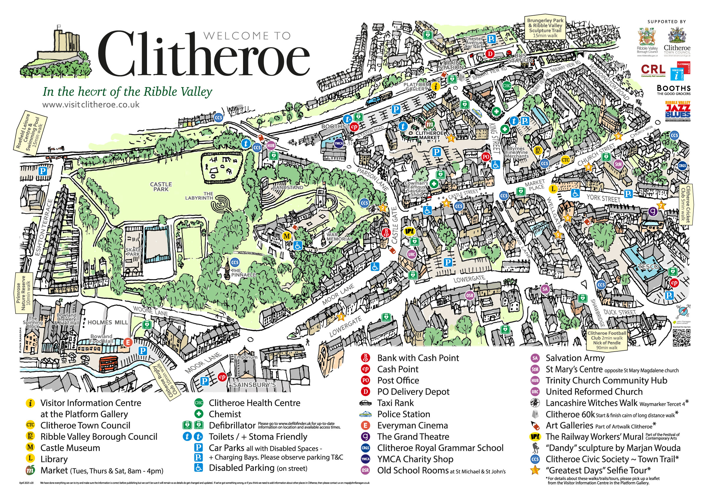
Download the Clitheroe Town Map Here.
Try the interactive Clitheroe Town Map here. It’s just a test for the upcoming Scooter Rally so let me know what you think.
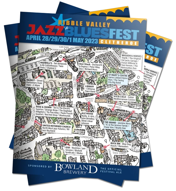
Initially the map was designed for the cover of the Jazz & Blues Festival brochure to highlight all the venues.
Then the local churches involved with the Clitheroe Ukranian Support Project (CUSP) started to use the left-over brochures to show our visitors where to find support services in Clitheroe. So a special map was designed for them to pin-point relevant places.
This developed into a map for all visitors and tourists coming to Clitheroe to highlight where to park and where to shop. So tourist attractions, cash points, supermarkets, churches, chemists, defibulators, the town trail, art galleries etc were added.
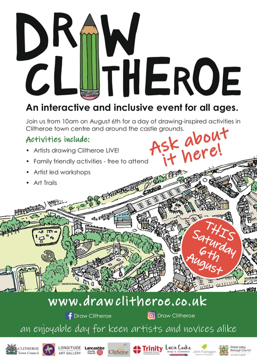
Then an annual event, Draw Clitheroe, was started by local artists and arts organisations and so the map became a very appropriate part of it.
Draw Clitheroe logo by: Lucie Cooke Design & Illustration
Design, marketing, leaflets, badges, flags and website etc by: Latitude Strategic Marketing
Many of the artists involved are represented at the Platform Gallery in Clitheroe and on the website Ribble Valley Arts.
It’s one of my pet design peeves. Why do organisations use a street map meant for cars to illustrate a town centre?
Instead of showing the ring road and roundabouts the map should show the shopping areas, markets, parks, galleries, squares, important buildings, cash points, and toilets etc.
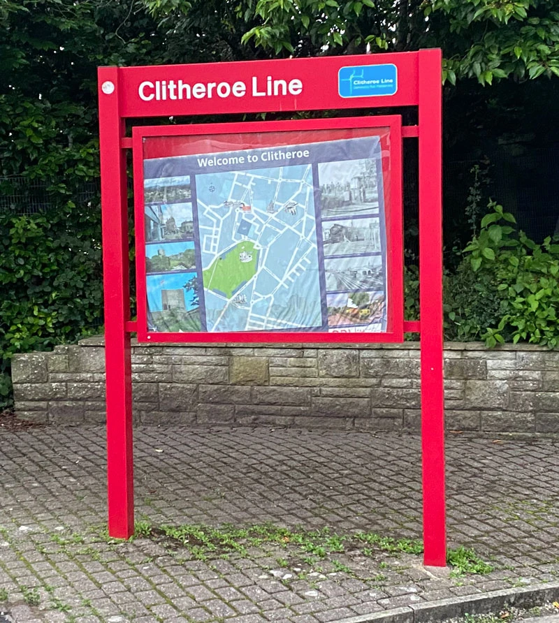
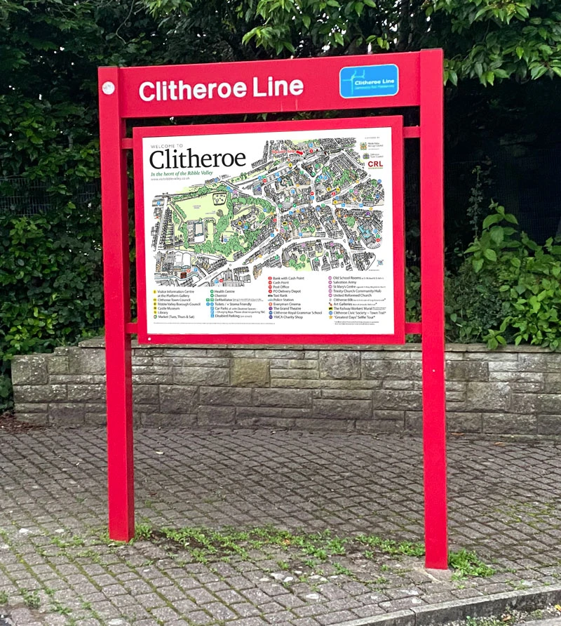
A great example of this was the previous poster at the station “welcoming” passengers to Clitheroe. It showed you how to drive around the town and then go somewhere else! Hover over it to see the difference.
Dimensionally my map isn’t accurate as I’ve had to turn and squash it to make it fit into the frame, but it gives a much better visual idea of where things are and the walk you take to get to them.